One of my readers suggested that I check out the latest addition to the FamilySearch Labs website. I did, and I loved what I saw! The site says:
The England Jurisdictions 1851 project simplifies research by consolidating data from many finding aids into a single searchable repository that can be accessed by clicking in a parish boundary. Features include contiguous parish and radius search lists and relevant jurisdictions as they existed in England in 1851. Data includes changes to parishes prior to 1851 and lists of non-conformist denominations in a parish (requires Internet Explorer 7, Firefox 3, Safari 3 or newer).
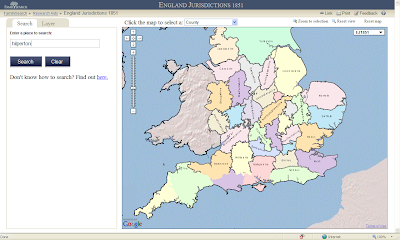
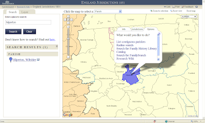
Clicking on the link above brings up the English Jurisdictions 1851 search page. The user can put a parish name in the search box. I entered one of my ancestral parishes - Hilperton in Wiltshire - in the search field:
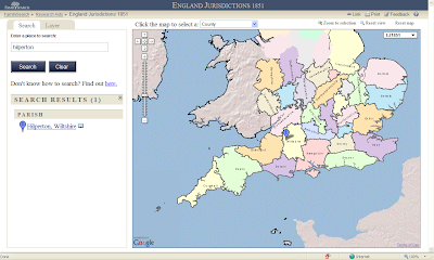
After clicking on the Search button resulted in a stickpin placed in the western part of Wiltshire, and a link in the left-hand panel to more information:
I clicked on the link to Hilperton, Wiltshire in the left-hand panel and the parish area and boundaries were shown in blue with an information bubble about the parish:
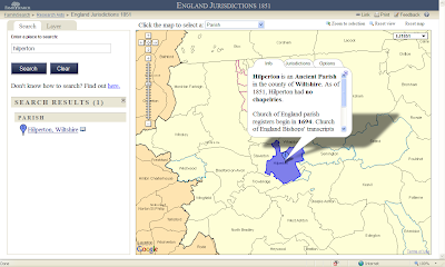
The screen above provides information about the parish itself. Clicking on the "Jurisdictions" tab reveals:
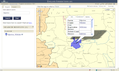
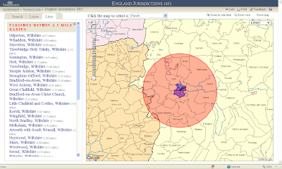
Clicking on the "Options" tab provides links to a five-mile radius map and links to other FamilySearch pages:
The screen below shows the five-mile radius from Hilperton. This is very useful in determining potential parishes that spouses might have come from. Note the list of parishes in the left-hand panel:
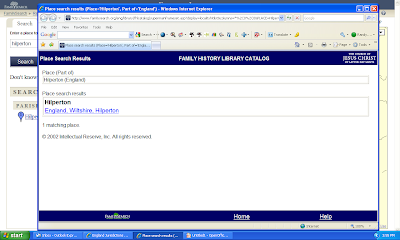
One of the other "Options" is a link to the Family History Library Catalog for the place:
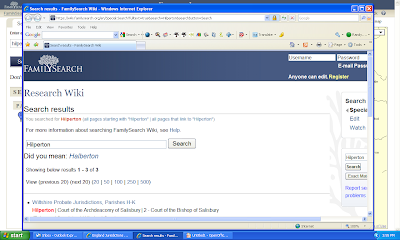
Another "Option" is a link to the page for the location in the FamilySearch Wiki:
This mapping feature can be used to find more information about the area involved. In addition to parishes, the maps can be used to show the County, the Civil Registration District, the Diocese, the Rural Deanery, the Poor Law Union, the Hundred and the Province by clicking on the dropdown box items at the top of the map:
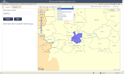
The user can use the "magic hand" to move around the map, and can zoom in and out of the map. Clicking on the area of a parish brings up the information for that parish. However, the map shows only the boundaries, not the roads or satellite views of the area.
The user can link to the specific jurisdiction (for instance the Hilperton parish is here) which provides a latitude and longitude for the jurisdiction, using the Link link at the top-right of the map. The user can also print out the map using the Print link at the top right of the map.
This is a very useful map feature for England parishes and other types of civil or church areas. The links to the FHLC and the FamilySearch Wiki are great ideas implemented well.
Will FamilySearch Labs create something similar for the United States and other countries? We can only hope so!
1 comment:
Great info here, Randy. Thanks! I've been checking out my husband's WESTABY ancestral locations in Lincolnshire.
Post a Comment